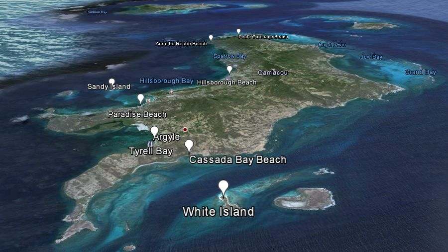
Zoom in the map to see the damage done, these satelite images reflect Carriacou 2 weeks after the hurricane passed.
Videos from explore Carriacou are a good way to see actual news from the island.
On Facebook are a few pages that are worthwile visiting and subscribing to, here are the most active pages.
Carriacou on FB , Buy sell trade and giveaway , Carriacou Coming Events, Activities , Advertising & Information.
The sailing community shares news on the Carriacou cruisers page.
The business guide listings are from before Beryl, these locations will open in the map below with a link to their page. On Facebook are a few pages that are worthwile visiting and subscribing to, here are the most active pages.
Carriacou on FB , Buy sell trade and giveaway , Carriacou Coming Events, Activities , Advertising & Information.
The sailing community shares news on the Carriacou cruisers page.
Detailed map with constructions on the island.

Following are some of the maps which we used to illustrate this websites content.
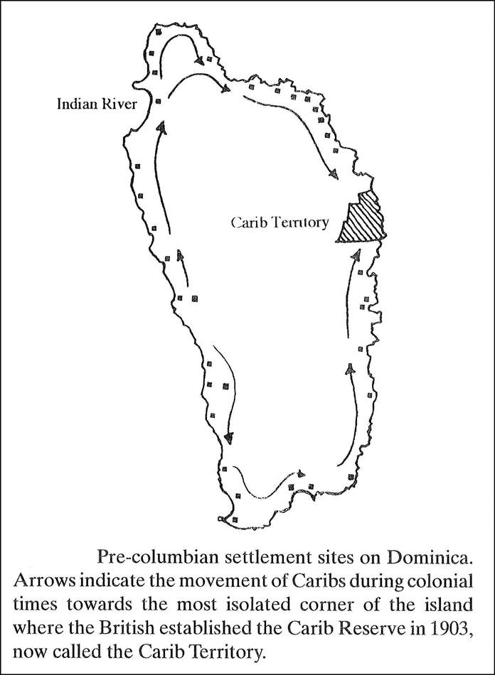
Placement of archeological findings and migration maps of the past.
-
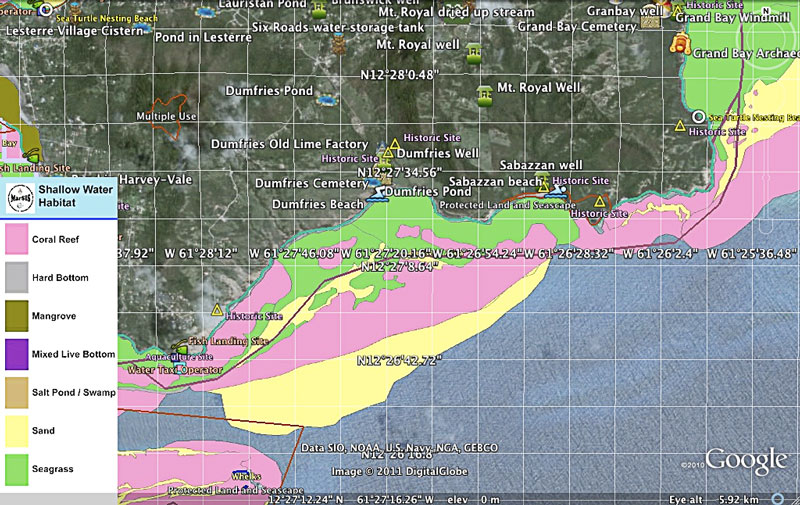
- Map of Dumfries and the points worth to see.
-
- Maps from latinamericanstudies.org
-
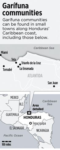
- Garrifuna communities spreading.
-
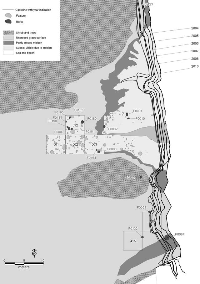
- Archeology at Grand Bay and Jews Bay on Carriacou windward side.
-
- Carriacou history and important historical locations.
-
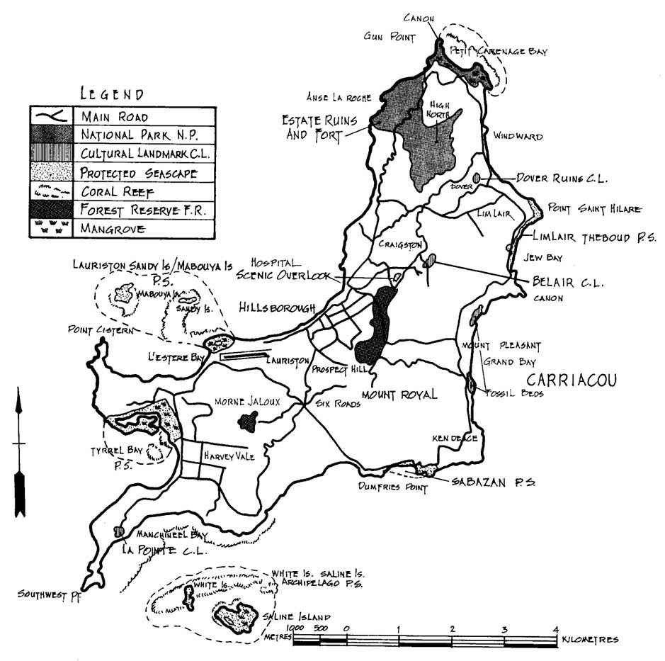
- Carriacou national parks and nature reserves.
-
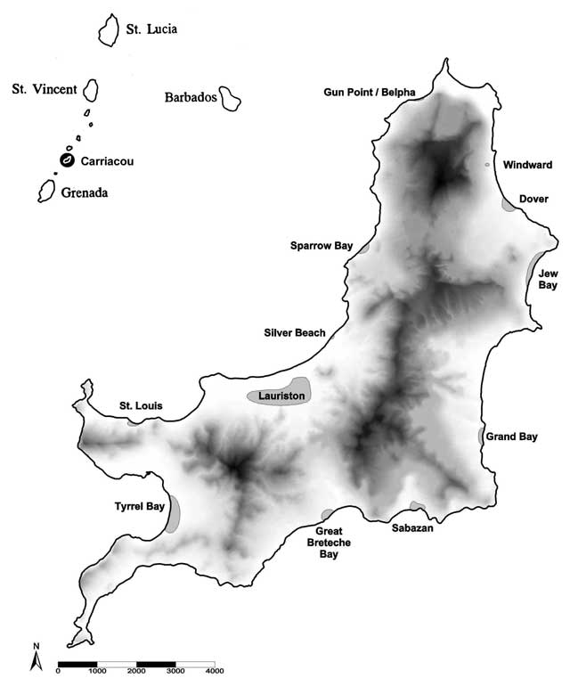
- Carriacou with top left Union Island and top-right the Tobago Cays.
-
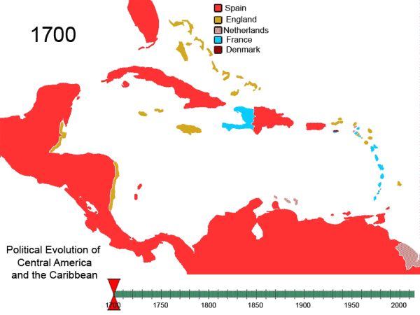
- Foreign occupancy of Caribbean islands.
-
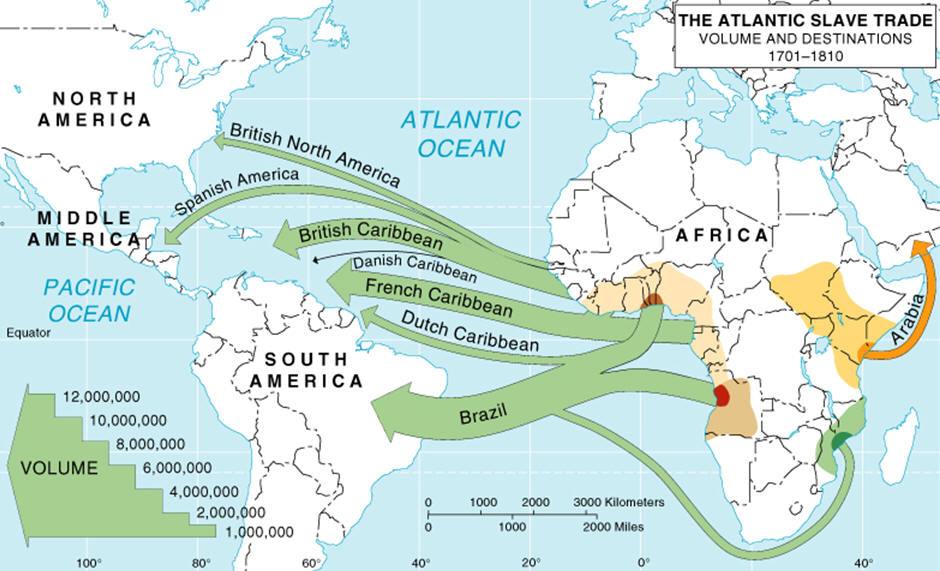
- Amount of slaves transported between Africa and the Americas.
-

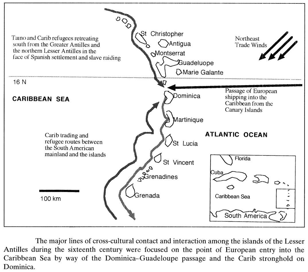
- Carib stronghold and Dominica – Guadeloupe passage.
-

- Surface of the Carib Reserve is 3,700-acre (15 km2)
